
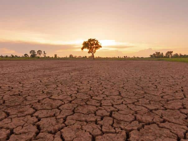
The natural climate phenomenon El Niño, which occurs in the Pacific Ocean and contributes to the rise of global temperatures, has officially begun, American scientists announced.
The US National Oceanic and Atmospheric Administration (NOAA) has announced that El Niño conditions have occurred in the tropical Pacific Ocean, after sea surface temperatures have risen sharply in recent months.
Numerous forecasts indicate that this could become a “super El Niño” and even one of the strongest ever recorded.
With decades of human-caused warming, this phenomenon could lead to another record-warming year, most likely in 2027, with disruptions to weather, food supplies and economic flows that could last throughout that year.
NOAA’s announcement comes as no surprise, as meteorologists have previously predicted the arrival of this warmer phase of the climate cycle, after the cooler pattern known as La Niña ended earlier this year.
Sea surface temperatures in the central and tropical Pacific Ocean have now exceeded the threshold of 0.5 degrees Celsius above average, which US scientists use as criteria for declaring El Niño.
– Conditions for El Niño have developed over the past month, as evidenced by above-average sea surface temperatures in the central and eastern equatorial Pacific Ocean – NOAA said.
The agency states that changes in the winds over the equatorial Pacific have also been recorded, which shows that the atmosphere is now responding to the warming of the ocean, and not that the sea itself is warming.
What surprised the researchers was the high degree of certainty of the computer models when it comes to the expected intensity of this El Niño.
The strength of the phenomenon is measured by how much sea surface temperatures in a key part of the Pacific exceed the long-term average.
A strong El Niño implies a deviation greater than 1.5 degrees Celsius, while very strong is considered when it exceeds two degrees.
According to NOAA’s June forecasts, there is a 63 percent chance of a very strong El Niño between November and January that could rank among the largest since records began in 1950.
So far, the three strongest events were recorded in 1982/83, 1997/98. and 2015/16. year.
Some of the latest American and European models of the European Center for Medium-Range Weather Forecasts (ECMWF) go one step further and predict that temperatures in the tropical Pacific could be more than three degrees above average by the end of the year.
However, NOAA warns that such forecasts should be interpreted with some caution.
Even very strong El Niño events do not lead to the expected consequences everywhere, but stronger events significantly increase the probability that the expected outcomes will actually occur – the agency said.
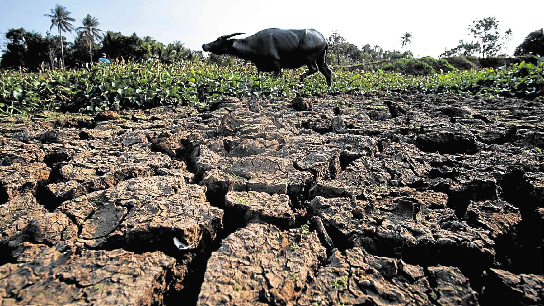
Climate change further amplifies the effect
Scientists point out that the biggest concern is the fact that all this is happening on a planet that is already significantly warmer than before.
– We really have to be concerned about the consequences. The current El Niño is building on top of already existing significant global warming. This means that the actual temperatures in the affected areas could be unprecedented, as the warming caused by El Niño builds on climate change – said Professor Adam Scaife, Director of the Department of Monthly and Multiannual Forecasts at the British Met Office.
A very strong El Niño typically increases the average global air temperature by about 0.2 degrees Celsius, releasing heat stored in the ocean into the atmosphere. That additional increase is happening in a world that is already breaking temperature records.
The year 2024, the warmest on record, was additionally warmed by El Niño, which was not particularly strong.
Despite the cooling influence of La Niña, 2025 was still the third warmest on record, even warmer than 2016, a year marked by a particularly strong El Niño.
– At the end of this year and during 2027, we will probably witness very high global temperatures. During 2027, we could have additional heat above the level of global warming we already have, which could easily lead to another year in which the average temperature will exceed the threshold of 1.5 degrees compared to the end of the 19th century – said Scaife.
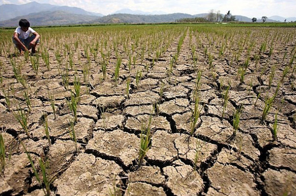
Floods, droughts and fires
Although no El Niño is exactly the same, its effects are most pronounced in tropical areas.
Floods are common in northern Peru and southern Ecuador, and can also affect parts of East Africa, Central Asia, and the southern United States.
At the same time, the risk of droughts and forest fires is increasing in much of Australia, Indonesia and northern South America, which negatively affects agriculture and global food supplies.
El Niño also usually reduces the number of hurricanes in the Atlantic Ocean, so meteorologists are already expecting a calmer season.
– Although this sounds like good news at first glance, for Central America it means significantly less precipitation and possible occurrence of drought – said Professor of Climate Risks and Resilience from the University of Reading Liz Stephens.
The effects, although much weaker, are felt even in the UK, where El Niño increases the likelihood of a milder start and colder end to winter, although the association is not particularly pronounced.
For many people, this forecast is not just a scientific fact.
– Proclaiming El Niño is not just another weather forecast. For millions of people, it is a deadly warning siren that should be rightly feared – said the director of the organization Power Shift Africa, Mohamed Adow, reports the BBC.
(Vijesti.ba)



Chat readers
Join the discussion