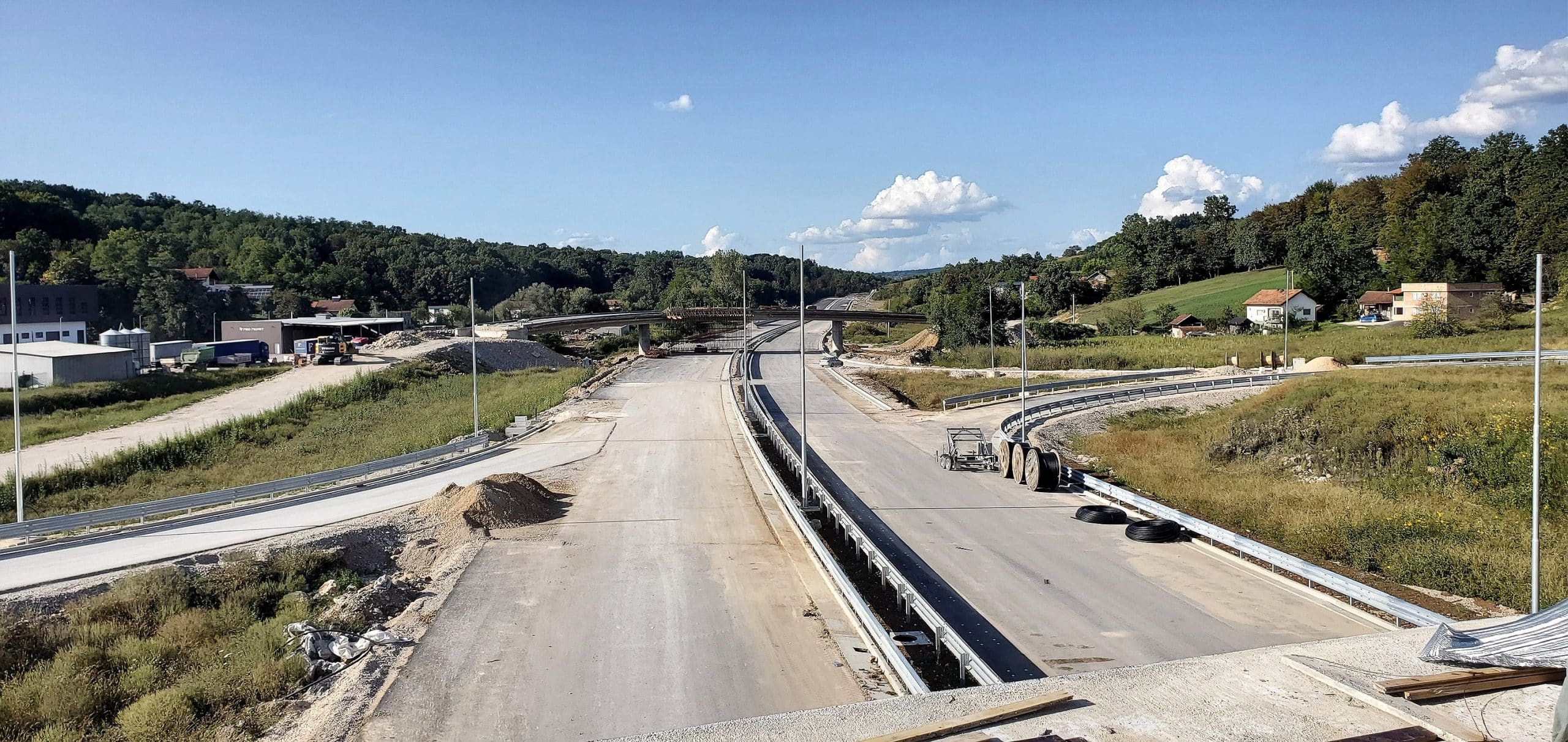
A new aerial shot has been published showing intensive work on one of the most important sections of the highway on the Vc corridor. It is a route 8.5 kilometers long, which, according to announcements, is entering its final phase and should soon be put into traffic.
What the route looks like from the air
The section begins at the exit from the Putnikovo brdo 2 tunnel, at the inter-entity border, from where the highway descends towards the Usora interchange. At this location, a lateral toll booth is planned, after which the route crosses the regulated riverbed of the Usora River, and then a series of bridges leads to the settlement of Karuše.
After Karuša, the route passes through Tešanjka and Medakovo, with changes in inhabited and uninhabited areas, where final works on the roadway, drainage, slope protection and installations are in full swing.
The section ends immediately after the Medakovo interchange, which will become one of the key connections for this region, especially for the municipalities of Tešanj and Usora.
The completion of this section represents another important step forward in the realization of the Vc corridor, a strategic direction that connects Bosnia and Herzegovina with European transport networks. At the same time, it is an area of high intensity of economic activities, so significant traffic relief and shortening of travel time are expected.
With the released aerial shots, it is evident that the works are nearing completion, and official information about the completion and release is expected in the coming weeks.