
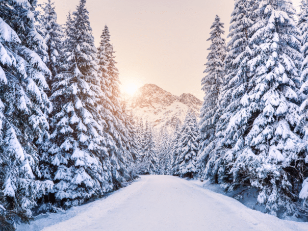
Severe Weather predicts above-average snow in most eastern United States, Midwest and Europe.
The new atmospheric data show strong east winds that descend through the tropical stratosphere, which could bring significant changes during the winter 2025/2026. throughout the United States, Canada and Europe. This wind pattern, known as quasi-biennial oscillation (Qbo), changes the direction every one to two years and can play an important role in shaping seasonal time forms, writes the north weather.
Last winter with similar conditions have brought a weakened polar vortex, which led to the colder and snowy conditions in parts of the United States, Canada and Europe. New forecasts now suggest that winter 2025/2026. She could be under similar influence, reports Dnevnik.hr.
What is a polar vortex?
Qbo is a regular wind variation high above the tropical stratosphere, which is switched between east and western (zonal) winds. Stratosphere in Stratosphere travel in the belt around the planet on the equator. And about every 17 months, these winds are completely changing direction.
There are several reasons why and how qbo can affect our winter time. One very important aspect is a polar vortex, which is why the QBO is monitored, especially in winter.
During the east phase of the QBO, the wind profile is more favorable for the expansion of planetary (Rossby’s) waves upwards from the troposphere in the stratosphere. These waves then disrupt and a weak polar vortex, making it more susceptible to collapse, which can significantly disrupt the weather patterns in the lower layers of the atmosphere.
Looking at Europe, the most interesting month in the winter forecasts is January 2026. According to the forecasts, the colder flow of the north to northeastern direction will be moved through the continent.
And the high pressure blocking over Northern Europe and over polar areas are clear signs of weak or disturbed circulation and a lower polar vortex. The weaker polar vortex is usually much more susceptible to complete collapse due to increased pressure and temperature in the stratosphere, as described earlier. It can be the main appearance of the winter season, bringing or extending cold days and snowfall over several weeks, writes the north.
The collapse of the polar vortex is the name for sudden stratospheric warming (SSW). This means a strong increase in temperature and pressure in the stratosphere and consequential circulation circulation of vortex.
One such great event was recorded this March.
Observing the snowfall after SSW, the above-average amount of snow can be seen in the larger part of the eastern United States, the Midwest and Europe.
A weak polar vortex can significantly affect winter time in the United States, Canada and Europe.
In the season with a negative QBO, the probability of the collapse of the polar vortex increases.
(Vijesti.ba)